
For decades, Terra Imaging has focused on aerial photogrammetry, aerial LiDAR mapping and 3D Geospatial Software Development. With recent FAA regulations, commercial drone mapping platforms are now able to collect high resolution raster and vector, 3D datasets are in the sub 1-5cm (GSD) range.
High resolution, low altitude platforms (plane, helicopter or drone) are capable of producing very dense 3D geospatial point clouds are ideal for Motion Picture and Television, 3D Gaming (AR/XR/VR), Geospatial Simulation, 3D Architectural, Civil and Structural Modeling.
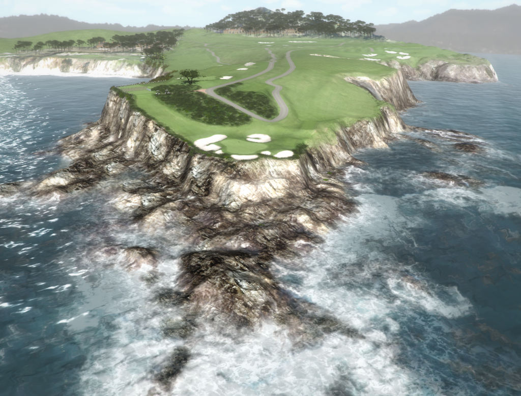
3D Terrain and Elevation Data – DEM (DSM – Digital Surface Model) – Produced with 5cm Stereo Photogrammetry
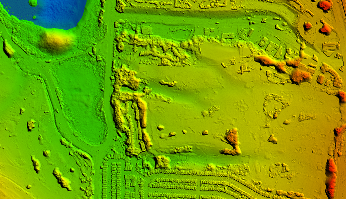
Georeferenced Photogrammetry – DEM/DSM Terrain Data
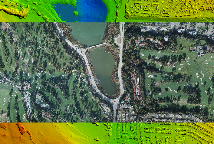
3D Golf Course – Georeferenced 3D Imagery and Terrain Data… http://www.3dgolfcourse.com