Technology and Research
3D Golf Course
One Drone Cloud
News - Press
Patents
Contact Us
Posts Tagged ‘Pacific GIS’
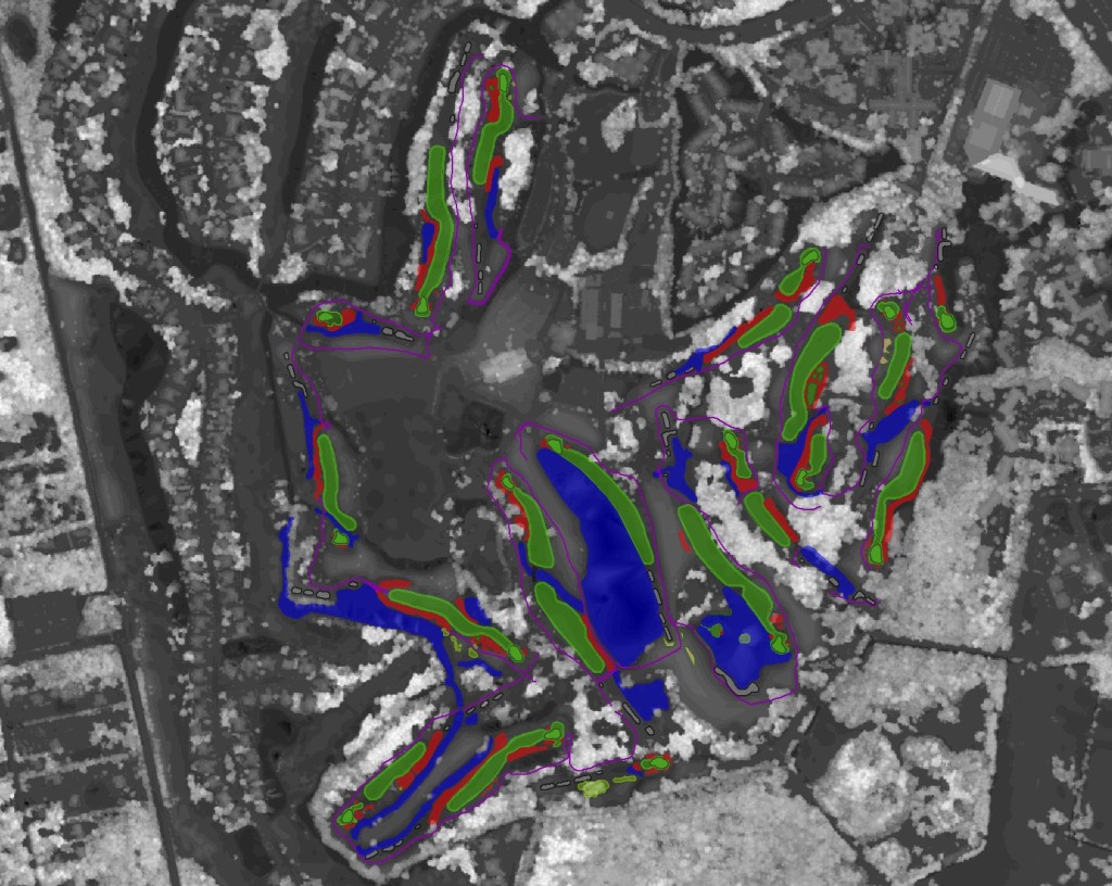
Terra Precision – 3D Elevation Modeling with 3D GIS
Friday, May 15th, 2015 at 6:51 pm
3D Golf Course
,
Press
,
UAV Aerial Cinematography
,
UAV Mapping
|
3D GIS
,
3d terrain
,
bing maps
,
LiDAR
,
Pacific GIS
,
Photogrammetry
Leave A Comment »