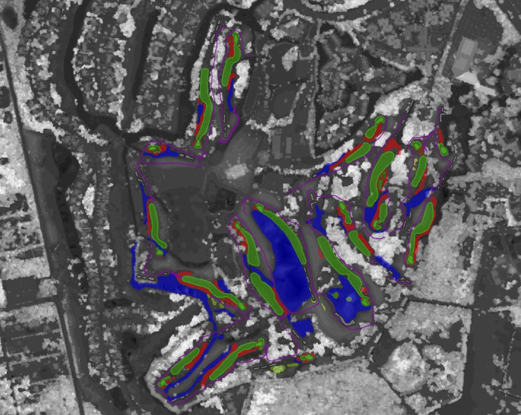
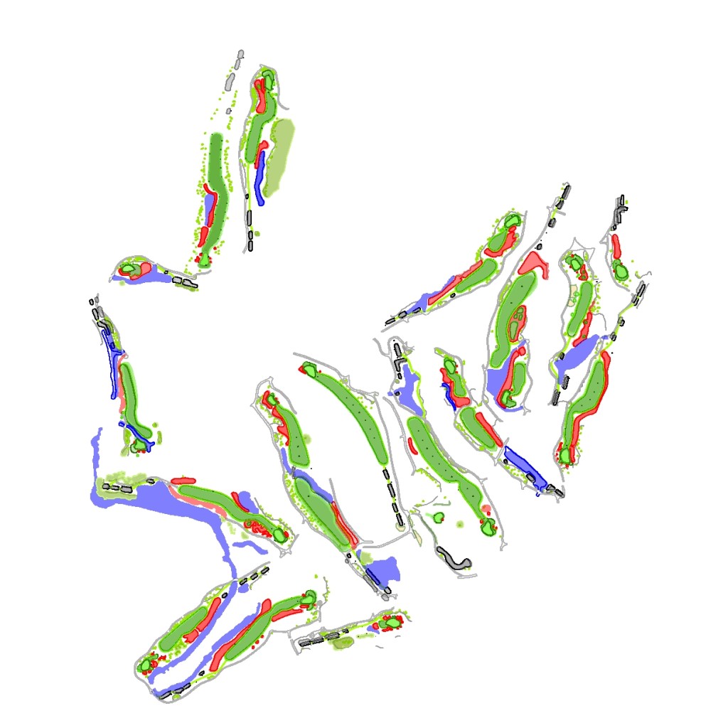
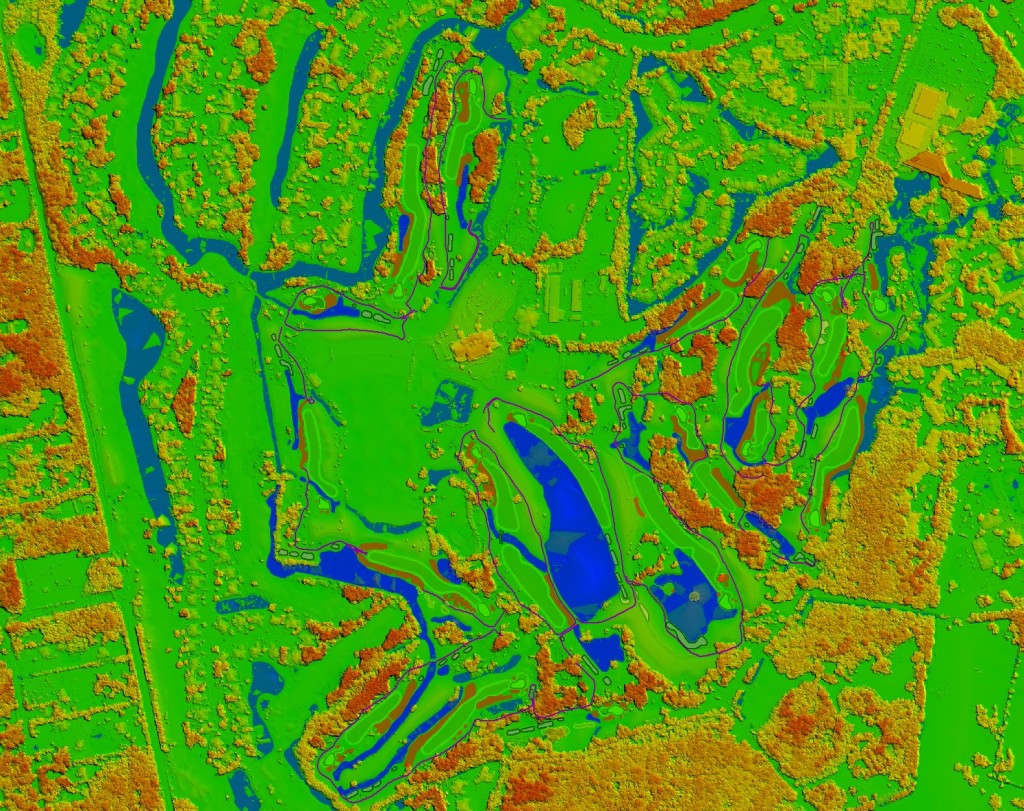
3D Golf Course
Ballyneal Golf and Hunt Club – Holyoke, CO – UAV Photogrammetry and 3D Modeling
Ballyneal Golf and Hunt Club – Holyoke, CO
by One Drone Cloud
on Sketchfab
2015 U.S. SENIOR OPEN – USGA – UAV Mapping
Terra Imaging – Fox Sports – USGA from Terra Imaging on Vimeo.


FAA Approval: Commercial UAV Operations – UAV Aerial Mapping and UAV Aerial Cinematography

June 16th, 2015 – La Jolla, California and Telluride, Colorado – USA
Terra Imaging is pleased to announce their FAA approval for commercial UAS, UAV and Drone operations in the United States. Karl Engstrom, CEO of Terra Imaging explains, “This is a pretty big announcement for us, we are very pleased. We’ve been in the airborne mapping industry for several decades, now with the recent FAA legislation this year allowing for commercial UAV operations in the US, we couldn’t be more pleased with our approval for both categories of UAV operations: “Precision Aerial Surveys” and “Closed Set Cinematography”… it’s a first for us and the geospatial industry.”
Lawrence Lim, Director of Photography and Cinematographer for Terra Imaging states: “We are going to continue to work with our existing airborne mapping clients for golf course, real estate, civil engineering and agriculture mapping, however, we are going to continue to focus on UAV technology for the motion picture and commercial television industry as well. Focusing on the Motion Picture and Television industry is going to be an exciting next step in our evolution of airborne data collection, we are very excited about this emerging industry of high resolution, low altitude data collection.”
Engstrom summarizes, “We are just at the start, at the forefront of this new emerging technology sector, UAV operations will forever change the traditional industries of motion picture, sports broadcast, airborne photogrammetry, civil engineering and GIS… the list goes on, its just the beginning, we are very excited and optimistic about the future.”


The Geospatial Revolution Project
From our friends and alumni at Penn State, ESRI, GeoEye and ASPRS…
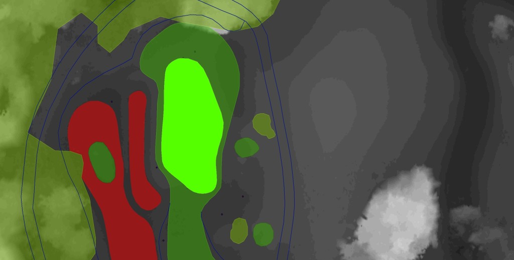
Torrey Pines – #9 – 3D Golf Course
Torrey Pines “South Course” – Hole 9 – Produced with high resolution Photogrammetry and LiDAR terrain modeling. Geospatial data acquired with Microsoft Ultra Cam and Leica HDS LiDAR sensors.
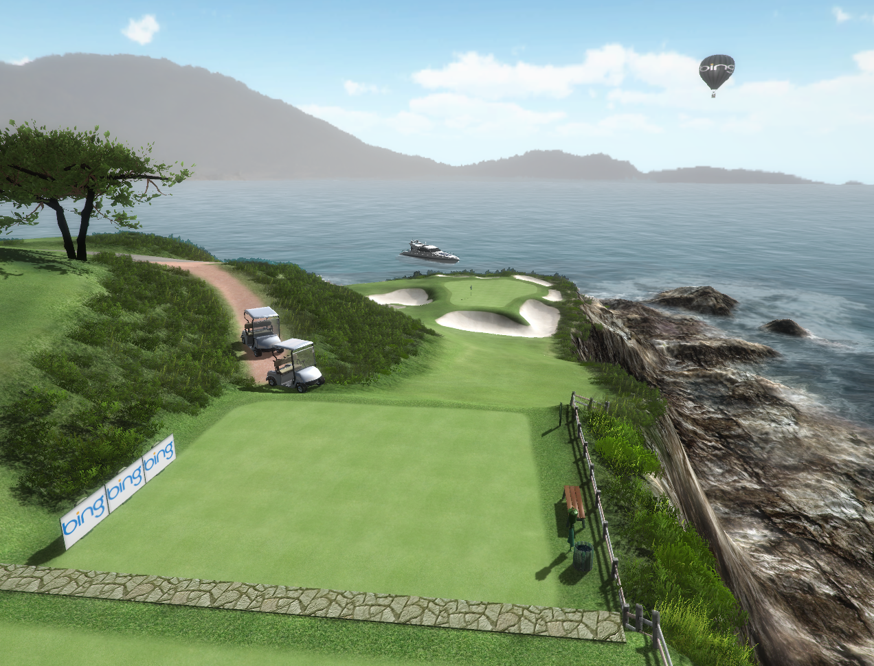
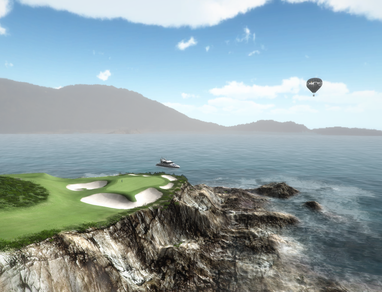
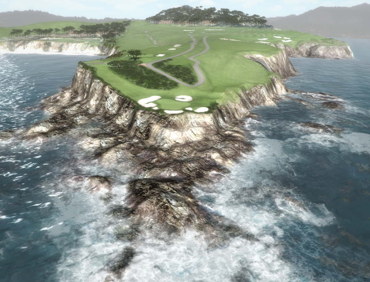
Monterey Peninsula – 3D Golf Course
3D Photogrammetry and 3D Point Cloud Modeling Test…
Torrey Pines – 3D Golf Course
Torrey Pines “South Course” – Hole 18 – Produced with high resolution Photogrammetry and LiDAR terrain modeling. Geospatial data acquired with Microsoft Ultra Cam and Leica HDS LiDAR sensors…
– 3D Photogrammetry
– 3D Terrestrial LiDAR