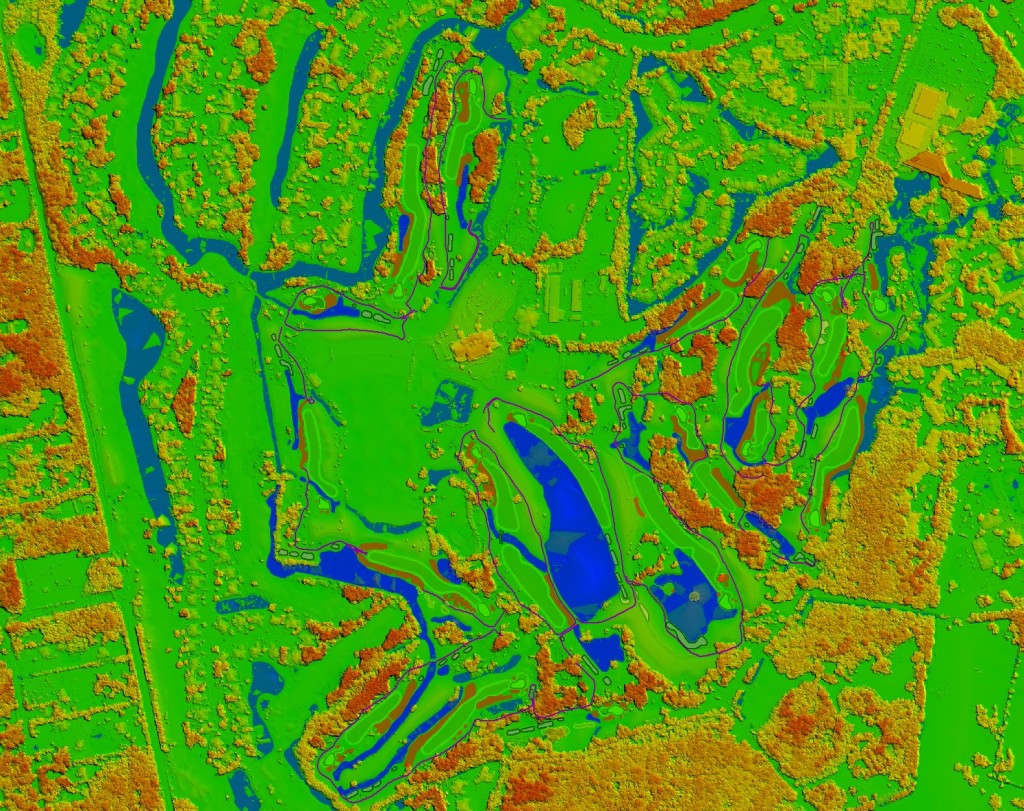
Torrey Pines
Torrey Pines – #9 – 3D Golf Course
Torrey Pines “South Course” – Hole 9 – Produced with high resolution Photogrammetry and LiDAR terrain modeling. Geospatial data acquired with Microsoft Ultra Cam and Leica HDS LiDAR sensors.
Torrey Pines – 3D Golf Course
Torrey Pines “South Course” – Hole 18 – Produced with high resolution Photogrammetry and LiDAR terrain modeling. Geospatial data acquired with Microsoft Ultra Cam and Leica HDS LiDAR sensors…
– 3D Photogrammetry
– 3D Terrestrial LiDAR
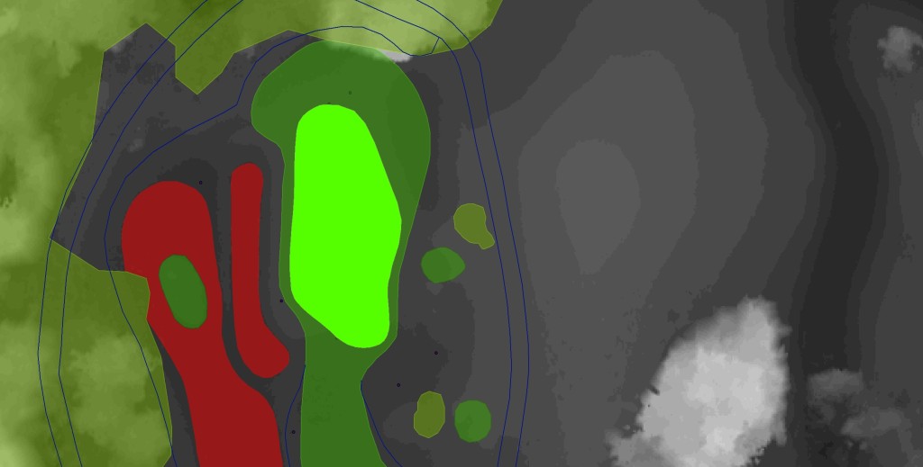
Torrey Pines – Hole 3 – 3D Golf Course
Torrey Pines South Course – Hole 3 – Produced with high resolution Photogrammetry and LiDAR terrain modeling. Geospatial data acquired with Microsoft Ultra Cam and Leica HDS LiDAR sensors.