Technology and Research
3D Golf Course
One Drone Cloud
News - Press
Patents
Contact Us
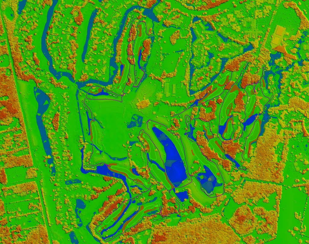
Terra Precision – 3D Terrain Modeling
Friday, May 15th, 2015 at 6:34 pm
3D Golf Course
|
Torrey Pines
|
UAV Mapping
|
3d photogrammetry
,
3d point clouds
,
3d terrain
,
3d xyz
,
Drone Mapping
,
UAS
,
UAV
Feed
Comments
Previous
Next
Comments are closed.